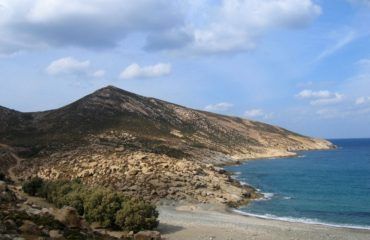
Paths of Tinos
If hikers can today walk on the ancient roads of Tinos and get to know the exquisite landscapes of the inland, they owe it to Carolos Merlyn. The man who thought of the registering and marking of the path network in the island.
The Greek-Austrian Carolos Merlyn was born in Graz, Austria in 1968 and he has been living in Greece for the last 35 years. While he was studying graphic design, he was occupied with climbing and trekking tourism. He has passed from the school of medium mountain of Mountain Escort Foundation. Also has organized and was responsible for trekkings all over the country. The last few years, his activity is mainly focused on Cyclades and especially Tinos where he lives for six months per year.
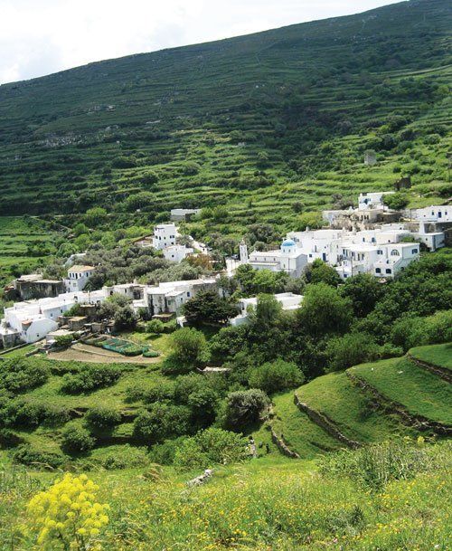
Registration of Tinos paths
Carolos Merlyn was the man who had the idea of registering the rich in paths Tinian network so as to give to other hikers as well the opportunity to know the primary routes which are in the island. In 2007, in a fertile collaboration with Anavasi editions, he published an exceptional trekking and travelling 1:25.000 map of Tinos. At the same period, he came in contact with the local commission of the Greek Environment and Culture Company. Also next with the prefecture, setting the foundations for a flawless collaboration with Mr. Anastasios Anastasiou, responsible for the Culture and Educational Affairs department in SE Cyclades.
Together they determined the routes and decided for their systematic registration. From the overall registered network of 270km, a part of 120km is of cultural interest. The registration was carried out via Gps and includes Tracks and points of reference, Wpts which are accompanied by descriptive text with the points of interest, the routes analytically (road book) and their current situation. Also, the archives have been combined with digital geo-referential maps which are based on aerial photographs and contours.
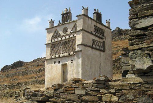
The trekking network of the island
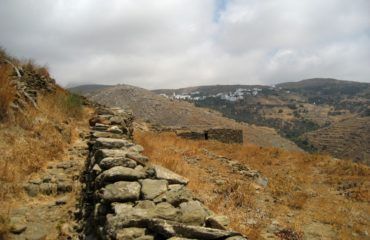
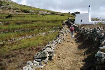
As a true Tinos lover, Carolos Merlyn explains to us, the paths are stone or slate paved roads. They’re of 400km total length. They are not considered cobblestone roads. the length’s a significant number for an island smaller than Naxos. There you hardly meet any upright stones. Their history goes back in the ancient times. When the named Vari – the most known and significant path till nowadays- connected Ancient Town to the Towns in the center of Tinos.
However, the verification of the paths age is at some points quite difficult. That’s because the way of their construction remains the same and unaltered in the lapse of the centuries. The largest part of the path network keeps existing. But it is not intact by the catastrophes that the construction of new roads has caused the last few years. With right promotion, continuance of preservation effort, clearing and path setting, Carolos Merlyn believes that Tinos has everything it is required to become hikers’ paradise.
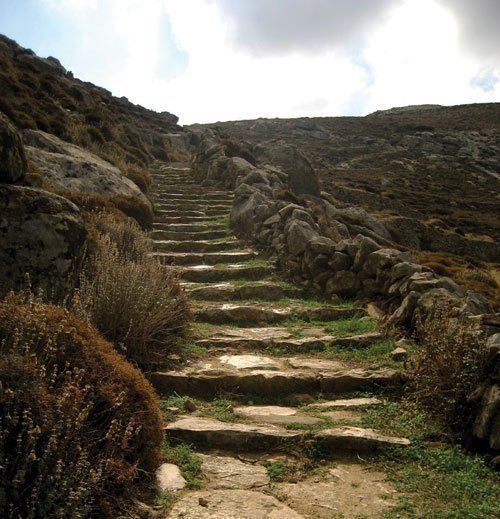
Labelled tracks in Tinos
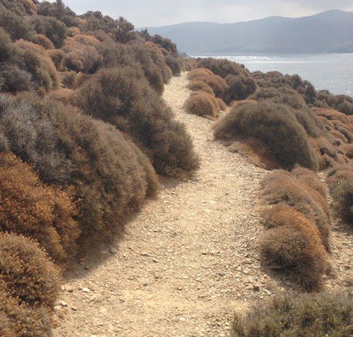
Within the framework of an attempt on behalf of the south Aegean Region that began about ten years ago. A network of 120km was labelled and cleared which consists of old paths and stone paved roads. It has been determined 10, perhaps 12 trekking tracks to be made. From which the following have been labelled and partially cleared:
Track No 01: Falatados – Maganari – Livada beach.
Track No 02: Tripotamos – Iera Kardia Monastery – Koumaros – Loutra – Kampos
Track No 03: Arnados – Mountados – Tripotamos
Track No 04: Chora – Ktikados – Chatzirados – Kionia
Track No 05: Falatados – Volax – Agapi – Sklavochori
Track No 06: Steni – Potamia – Lychnaftia
Track No 07: Steni – Tsiknias Top
Track No 08: Dyo Choria – Kounares – Aghia Varvara – Agios Sostis
Track No 09: Yannaki bay – Ysternia – Ysternia Mills – Plateia
Track No 10: Kalloni – Karkados & Kalloni – Aetofolia, Pyrgos – Panormos
– Plateia – Rochari and Pyrgos – kyra-Kseni, Marlas.


 Ελληνικά