Circular route around Exomvourgo
Distance: approximately 15 km
Hours: approximately 6 plus 1 to climb up and down Exomvourgo
.
.
.
Falatados – Exomvourgo
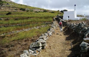
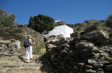
At the parking lot, walk up the wide path with the stairs in the middle towards the centre of the village. Go past the school on the left and the tavern named Katoi on the right. You will find the entrance to the small village square on your right and a vertical alley where you turn left (turn right to go to the church and the village cafés). Go through the Arch and turn right at the fork (170 m from the parking lot). Keep to the right, going past a cream coloured house with blue windows on the right, until you see a church with a four-level belfry. The alley leads to a parking lot (110 m) and a wide path which you follow to the left. Soon you will find a small asphalt road where you go left again. At the church there is a marble relief plaque depicting a double-headed eagle. At the second dirt road on the right (155 m from the church), turn towards Exomvourgo. Go past a double chapel on the right. The view of both sides of the island is wonderful. The mountains in the background on the right are located in Andros. On the left you will find short oak trees which are what is left up here of the primeval vegetation of the island. At 965 m, you will find a beautiful chapel on the right next to a large granite rock. After 150 m, you will reach the main road of Koumaros which you cross diagonally to the left to find the beginning of the path towards Exomvourgo.
Exomvourgo / St. Helen’s Castle
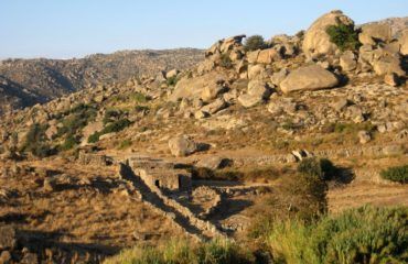
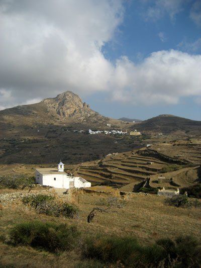
The path ends at a small and low white cell and a road which you follow uphill to the right to reach the foothills of the granite massif of Exomvourgo and the Catholic Sacred Heart Monastery (340 m), seat of the Catholic Archbishop of Tinos. A monument commemorates the Catholics who died in wars between 1912 and 1950. The castle bears the name of St. Helen and the fortified city below is called Exomvourgo.
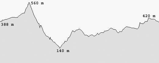
To climb up Exomvourgo go right at the sign directing to St. Helen’s Castle, leaving the monastery courtyard on your right. Follow the cobbled path to the top where there is a cross (at an altitude of 560 m), a rare thing on Greek mountains (probably because it is in a Catholic area or because this is the island of Virgin Mary). In the northeast lie the villages of Volax and Koumaros. Falatados, Steni, Messi are in the East, while Tzados, Karia, Mountados and Sberados are in the southeast and Tripotamos lies just below them. In the south lies the capital of the island (Hora), Ktikados and Hatzirados are in the southwest, while Kambos and Tarabados are in the west. Komi with the homonymous plain lies in the north. The mountain to the right of Falatados is Mount Tsiknias (altitude of 730 m). The next massif on the right is Mount Kechros (the name possibly comes from the word “kechri” which means millet), where the Monastery of Kechrovouni is located. In the west there is another big mountain named Polemou Kambos (i.e. flatland of war).

Exomvourgo – Koumaros
Exiting the east gate of the Sacred Heart Monastery courtyard, after 50 m, you will find a small asphalt road where you turn left. After 340 m, at the end of the downhill road, you will find the small, low, stone-built cell again on the left. This is the starting point of two paths to the left, the first one to the left towards Koumaros and the second one towards Falatados. Turn left at the first one towards Koumaros (its name probably comes from the word “koumara” which means lychees). Go down the path until you reach the outskirts of the village and at the fountain (380 m) go left. After 55 m, you will reach a large granite rock and you will go left again (to go to the village café continue for a few more metres).
Koumaros – Loutra
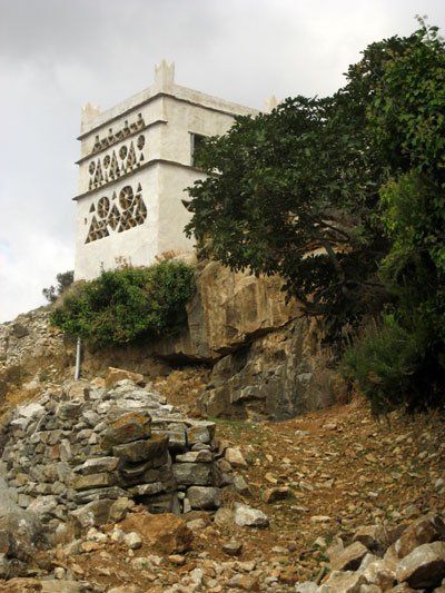
The path goes downhill steeply. On the right you will find a spring of drinking water which is guarded by a statue of the Virgin Mary. On your left and right you can see the entrances of mostly deserted gardens and flower beds. On the slope to the right you can see a dovecote decorated with the following Latin inscription: DMV 1895.
You will find a partly cemented dirt road (350 m – on the right and left sides there are two gates with wire) which you cross diagonally to find the continuation of the path that goes down the left side of the valley. At 155 m, you will find the same dirt road which you follow down to the left until you reach the main road of Komi (380 m). Turn left and immediately right to enter the village of Loutra. After 175 m, at the parking lot, turn right and go down a small, steep road towards the centre of the village. The large building on your left is the former Ursulines Monastery which has now become a school. Go past the grey marble church and when you find a clear turn left following the main alley that runs through the village. On your left you will see the entrance to the monastery (there is a small museum for visitors). A few steps further down you will find the former Jesuit Monastery where there is also a small museum worth visiting from June till September. At 260 m from the entrance of the village, you will find yourselves in a parking lot in front of the main entrance to the Jesuit Monastery.
Loutra –Kambos
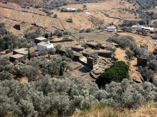
Cross the parking lot towards the telephone signal pillar and turn left, going down a path with steps to the left of the renovated neoclassical house. The path runs down the verdant slope. At 400 m, you will cross a small river whose banks are covered by large stones. The path starts going uphill and south. Soon there is an open view and you can see the northwest side of Exomvourgo. You will find an olive grove and some small cells on the left (225 m), but keep going straight. Just below Exomvourgo lies the village of Xinara, seat of the municipality of Exomvourgo.
Following the path that soon turns to the west, you will see a small wooden door and an irrigation channel on your left. There is a shady section until the next fork (380 m) where you go right and uphill. Then you will see two dovecotes. Ignore the small path coming down from the left and at the next intersection (170 m), turn left and uphill.
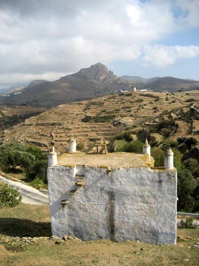
At the chapel (255 m), keep going uphill to the right in order to reach a road (55 m) close to the first houses of Kambos, where you go left. On your left and right, you will see small stone pens. Further down, after 360 m, opposite a small cell with a rusty barrel, turn onto a path on the right towards a mill. Go over the stone wall and keep walking parallel to the wall. At 180 m, you will find a path on the left towards a mill, but you continue straight ahead to reach the main road to Kambos after a while (40 m). Go right and almost immediately, after 30 m, turn left onto the next path you see next to the entrance to a field. At the fork (130 m from the main road), turn left towards a chapel and the village of Chatzirados. Ignore a dirt road on the left and continue below the chapel so as to reach a dirt road after 190 m. Go down the dirt road and at 40 m cross another dirt road, following the course of the old path. On the outskirts of the village, you will find a wide path with stairs on the right (120 m) where you go left. At the square Iakovos Ariblias with the chapel, turn left at the first exit. After 110 m, you will find a parking lot, where you go down the path to the right. You will walk past a creek and under some big mulberry trees. Walk through the covered alley and go up the stairs. At the large dilapidated building (280 m), turn right to get to the entrance of Ktikados after 150 m.

Walk down the asphalt road and cross the parking lot diagonally to the left to enter the village. Go down the main alley until the café-bistro named Agnanti (80 m) and the village square with the spring (drinking water) or the tavern named Drosia (120 m) with its amazing view.
To continue your route, go back and find the small shop before café Agnanti (75 m from the entrance of the village). Walk up the path just opposite which passes by a chapel on the left and a black rail gate on the right, taking you to another parking lot after 60 m. Go up the cemented road until the next intersection (275 m) where you go right. On your left, you can see a big church on the mountain. Walk downhill in order to pass below the church and to the left of it, in order to reach a path running towards the old forsaken village of Ktikados, which was deserted after an epidemic.
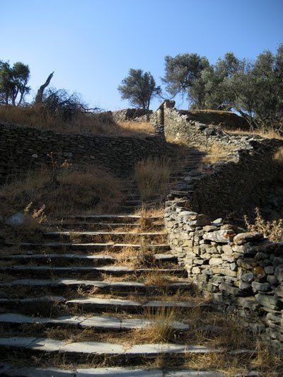
Old Village of Ktikados – Tripotamos
Turn left and climb up the stairs between the ruins. Ignore a path on the left running towards the church and at the next fork turn left again (230 m). The path smoothly traverses the low slope, taking you to an intersection with a cluster of large and smooth rocks after 215 m, where you turn right passing by a small chapel.
Cross the small green creek and climb up the stairs opposite. After 205 m, you will find a big and wide path (“strata”) coming up from the right, which was once the main road from the capital of Tinos (Hora) to Exomvourgo, and you go left.
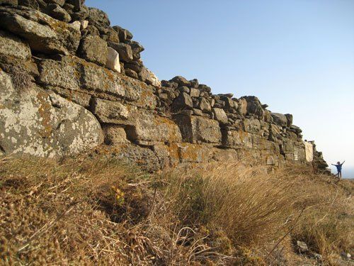
At the fork (125 m) with the small bridge and the spring below it, turn right to reach the main road to Pyrgos after 350 m. Turn right towards Hora and immediately left (50 m) onto a small road leading you to the centre of Tripotamos. At the parking lot, go straight onto the alley. Walk past a covered spring with a laundry room and turn right onto the next narrow, covered, downhill alley. You will soon arrive at a clear with a palm tree, a telephone signal pillar and a small fountain (dating back to 1993) where you go diagonally to the right and immediately left for 35 m in order to turn right again (225 m from the entrance of the village). Turn left onto the next small road and pass by a church with a big courtyard on the left (pebble pavement dating back to 1953 and a fountain). Go through the covered alley and soon (120 m) you will arrive at another parking lot with a playground, where you follow the small road to the next village.

Tripotamos – Sberados – Karia
Pass by the former elementary school building on the right and after 215 m you will reach the outskirts of Sberados. Turn left onto the cemented road and after 215 m, turn right into a small road between walls, towards a small church with a pencil-shaped steeple. Go down the stairs until the creek and walk up the narrow verdant path opposite to get to some ruins after 225 m. Turn right onto an old dirt road, whose traces are lost in the undergrowth. Follow the dirt road to the ridge (360 m), where you go left, in order to reach the asphalt road towards Karia after 40 m. Turn right and after 950 m, you will reach the outskirts of Karia. Turn left into a small pine forest on your left and go up the steep uphill cemented road. At the fork close to the church, go right and at the grey gate (145 m) of a private estate with a pool walk up the path on the left towards the centre of Karia.
At the next intersection go straight and at the fork turn right into a path between walls. Ignore the alley to the right of two pillars and continue straight ahead in order to get to the village square with a spring on the left and a big church, after 145 m.
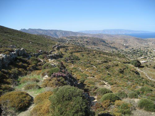
Karia – Tzados – Falatados
Follow the small road with the stairs to the left of the church and soon you will be outside the village. Cross the stream with the big mulberry tree and follow the path which is covered by lush vegetation. The next part of the route is marked by wild stairs and an illegal fence for the animals. Cross another stream with a spring before you start going uphill towards the next village, Tzados, where you will arrive after 580 m. At the lower entrance of the village, turn left into a covered alley and immediately right in order to get to a small square with a parking lot, after 50 m.
Go past the spring on the left and at the upper parking lot continue straight ahead to reach the main road to Falatados.
At the main road (70 m) turn left, cross the big intersection and after approximately 1 km, you will arrive in Falatados.

